Visiting : Lady Talbot Drive, Keppel Hut
Distance : ~56km ride
When : Saturday 24th January, 8:00am @ Marysville
Where : http://www.mapmyride.com/routes/view/625307246
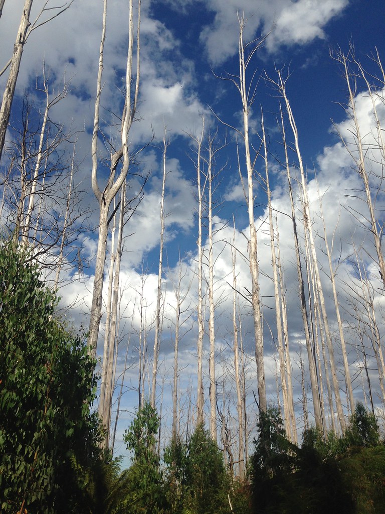
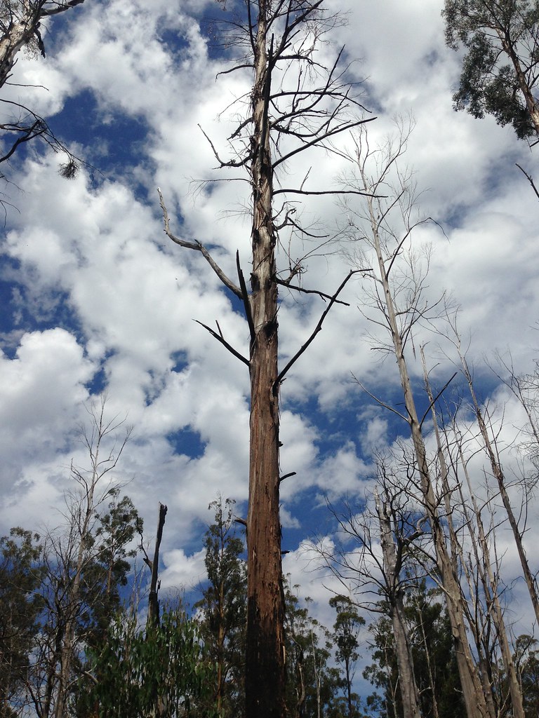
Lady Talbot Drive is another road that's been on my list for a long time. It climbs from Marysville up towards Lake Mountain and is feature-rich - it runs right next to a decent river, there's waterfalls, huts, heaps of wildlife and it takes you up to Lake Mountain Ski Resort. What's not to like? I decided to do another slacker ride the other weekend to check it out.
The plan was to drive to Marysville and do a short ride from there. I'd figured that a 5am start would give me plenty of time to ride, soak up the serenity and still be back for dinner but somehow I found myself still in bed at 6am and, worse, I was considering not only small route changes but completely different rides. My commitment to sparkle motion was definitely in question.
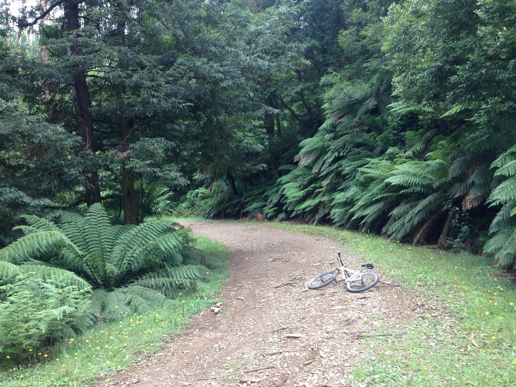
I finally dragged my arse out of bed and got driving, parked up at Marysville and was rolling on two wheels by 8am. To further the disorganised theme of the ride, I was riding without my SPOT tracker (I'd forgot that I loaned it to a mate for the Kiwi Brevet), without my GPS (it was sitting on my desk at work) and without paper maps. So, there'd be no heroics today - didn't want to end up on the news. Anyway, the route was a simple one so I figured I'd do it from memory. No problem.
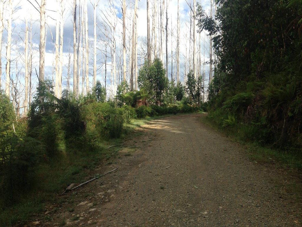
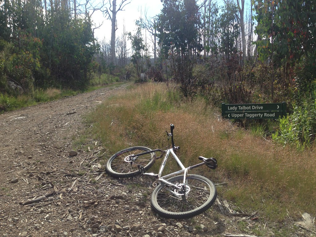
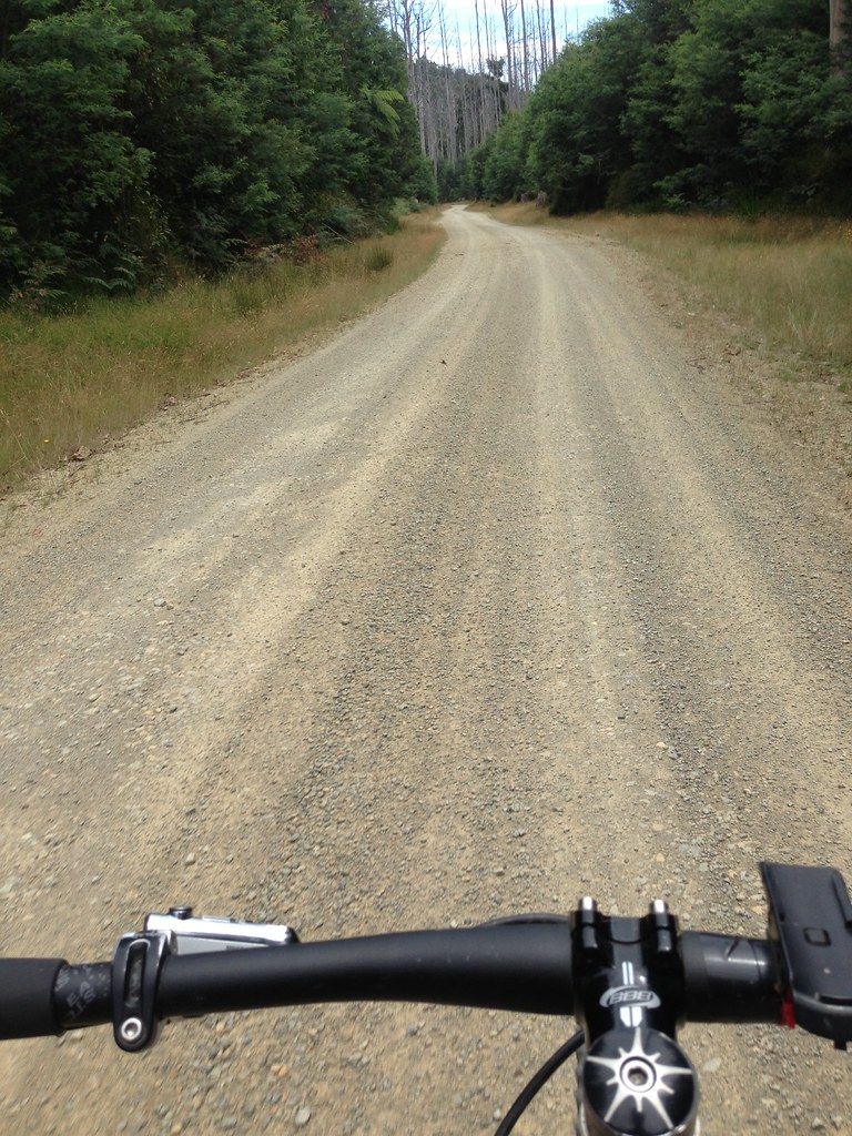
Rolling onto Lady Talbot Drive I was happy to see a "road closed" sign. It said something about "tree hazard" which I figured meant that some trees were down - a hazard for cars but not for bikes. It meant that I'd have the road to myself which is good. I was expecting a bit of tourist traffic up there, it being Australia Day Weekend and all, but turns out I didn't see a (moving) car for the whole ride (bar local Marysville traffic). Nice.
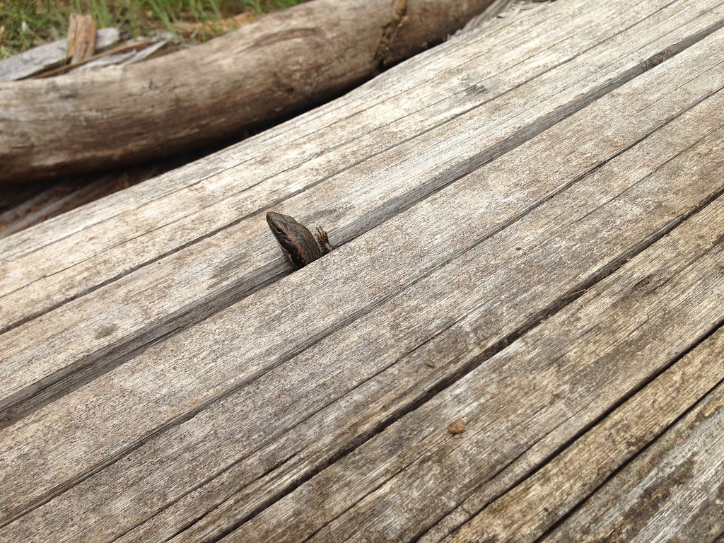
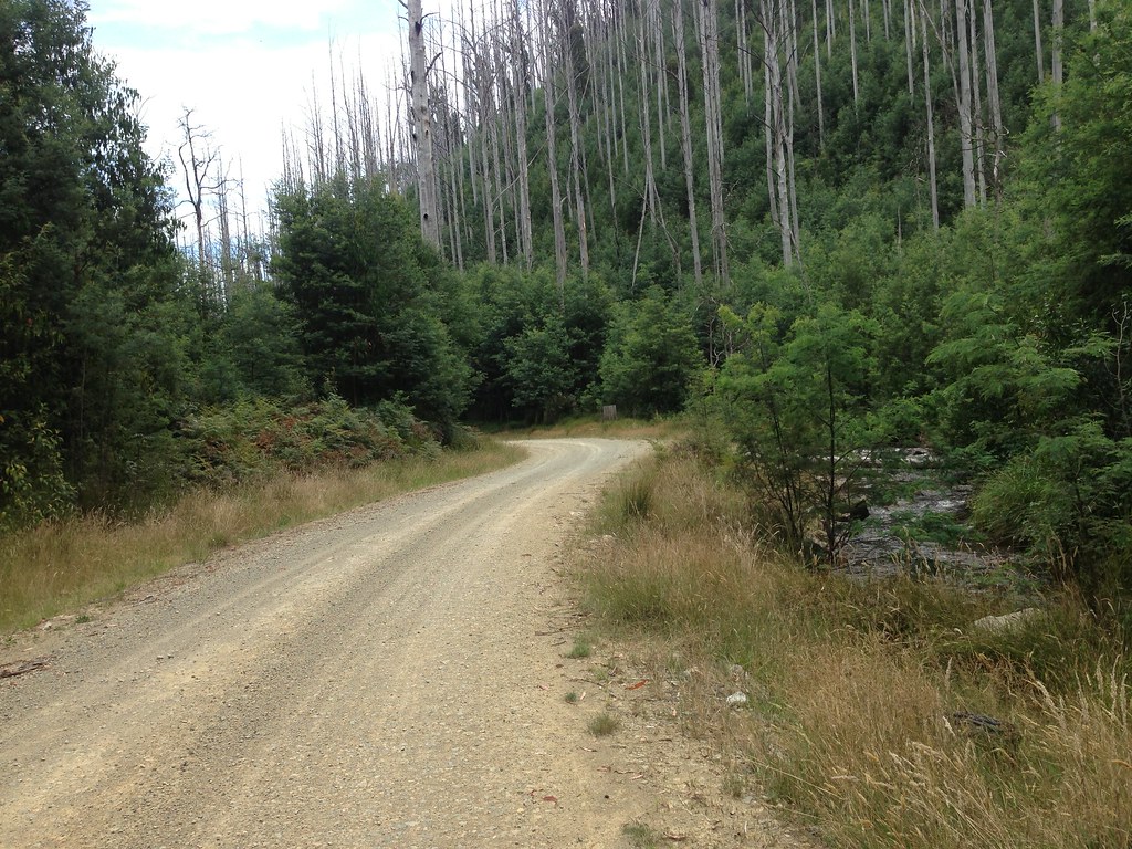
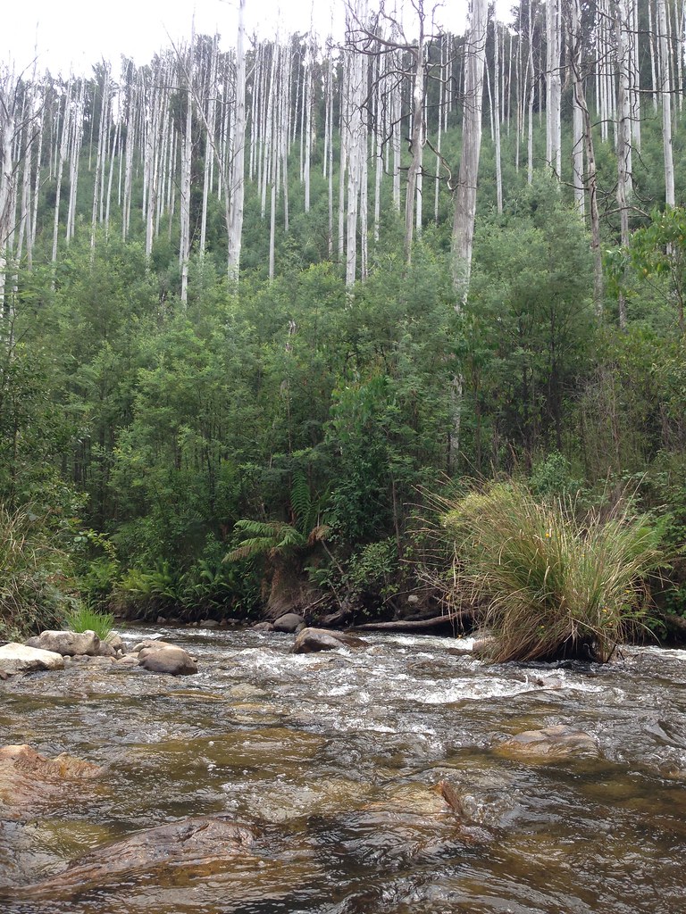
The road was as awesome as I'd hoped it would be. Well-used dirt superhighway for the most part, getting a little rougher the higher it went. Steep, thickly treed hills on both sides and the fast-flowing Taggerty River a constant companion. I spotted movement up ahead on the road and stopped dead - two deer. No, make that three. They were over a hundred metres away at least. I jumped off the bike, watched them for a while, took some photos and, sure that they'd take off any second, I slowly approached. They made me almost immediately, all three faces locked onto my movement. They let me advance about ten metres before the boss gave a loud bark and they all turned tail and scampered away before jumping up into the bush on the high side of the road.

The Taggerty Cascades were a pleasant and unassuming feature. Better than Snobs Creek Falls anyway.

The road went up and up, nicely graded for riding. I startled plenty of Black Stinkers nibbling on the side of the road. They'd invariably spot me, do a funny double-take and then drop down the low side of the road and crash away into the impenetrable scrub. Little scamps.
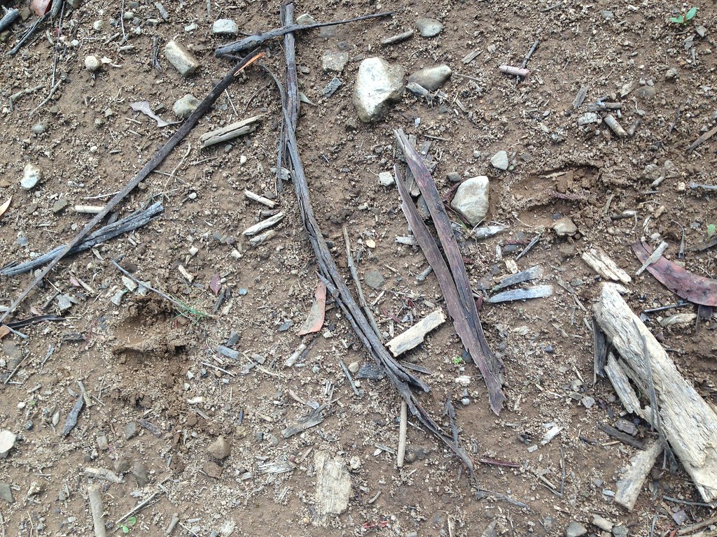
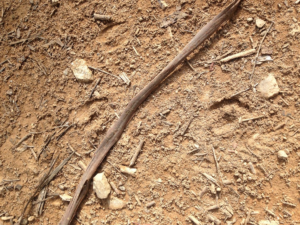
I spotted some deer tracks in the dirt. Tried to work out what they said but couldn't. I was happy enough to see the tracks and know that there were probably a lot more eyes on me as I rolled up that hill than I'd ever know.
Soon enough I popped out onto Upper Taggerty Road. Still no cars. Shortly after, another signposted intersection. I knew that I could stay on Upper Taggerty Road and it would take me to the main road up to Lake Mountain Ski Resort. But, I remembered the name of the other road on the sign, Boundary Track, and seemed to recall that it would take me up Lake Mountain too, coming in via the ski/MTB trails instead of the main (paved) road. Easy choice - I took Boundary Track.

Up I went, and pretty soon I saw a sign for Keppel Hut. Another easy choice. I've heard so much about Keppel Hut through friends and reading online that I had to see it. I also remembered from my route research that there was a walking track directly from the hut across to the Lake Mountain trails. From memory, it was only a couple of k's so I didn't mind if it was all hike-a-bike, at least it'd get me to the top somewhat directly.
So, along Keppel Hut Road I went, soon spying the roof of the hut between the trees, and, oh a 4wd, must be people camping there. I rolled up to the hut to find three little bivvy tents set up on the clearing out front and three young blokes sitting at the picnic table, just as surprised to see me as I was to see them. We quickly assessed each other, all parties quickly adjusting to the fact that our worlds had just collided and none of us were the only people out there any more.
Me: "G'day fellas!"
Them: "G'day!", "G'day", "Yeah, G'day mate"
Me: "..."
Them: "Wanna beer?"
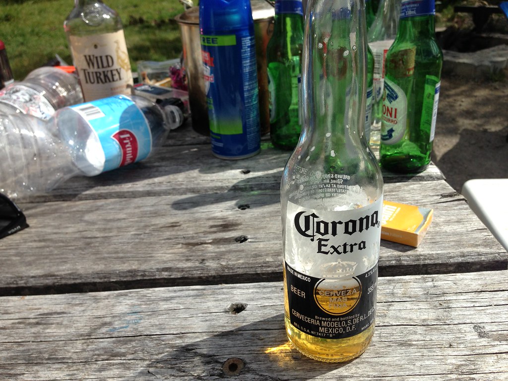
I said yes, of course, and next minute I was sitting down at a picnic table in the bush with three strangers drinking a beer at 10:30 in the morning. They were mid-late twenties, suburban kids, their esky (which still had ice in it, well done fellas) still had a handful of beers in it. Crucial in my assessment of the threat level here was the fact that they were drinking Corona and Peroni - threat level minimal. I chugged one of the Coronas, chatted with the three dudes and scanned the scene.
Turns out they'd arrived the day before, stayed the night at Keppel Hut but hadn't actually slept yet - they were still up drinking from the night before. Lots of empty bottles around, beer, Wild Turkey. There was a box of .22 bullets on the table and they seemed interested when I mentioned the deer I'd seen earlier so I figured they'd had high hopes of shooting something the previous night, though I'm guessing the only casualties were beer bottles and maybe road signs.
There was a bit of chatter about where I'd ridden from, which way they were driving today, where we were all from, what sort of bike I was riding etc. and then their drunken conversation drifted away from me and I started to feel it was time to go before I outstayed my welcome. I drained the beer, said my goodbyes and took off up the road with a hearty "Thanks again!" and left them to their empty bottles, impending hangovers and their long drive back home to the 'burbs.
'Straya mate.
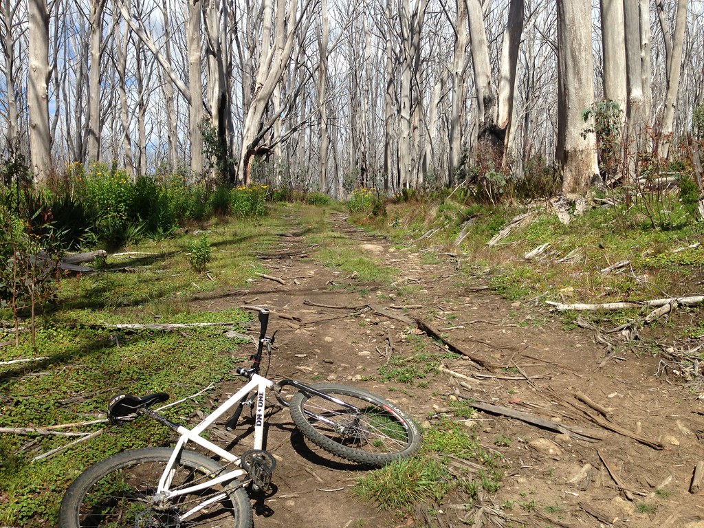
I pushed on up the "main road" from Keppel Hut and found it turned into pretty gnarly 4wd track almost immediately. I hiked some bits, rode some bits, always keeping an eye out for that little track across to Lake Mountain. After a while I reached a plateau and, worryingly, started to ride down the hill on the other side of it. I was pretty sure I'd missed my track by now and decided to stand around for ages peering at google maps on my phone and trying to work out where I went wrong. The map view was useless so I set it to satellite view and zoomed in and squinted at it for ages trying to scry the blurry image for tracks headed in my direction.
Nothing.
I decided to push on a bit more and see if the missing track was just up ahead, or maybe there'd be a sign or something I could use to... I dunno. So down I went, on McFadyen Track, which was a very rarely used doubletrack with lots of branches down and trees and various vegetation leaning over the track making it a reasonably technical descent at speed. Soon enough I reached the bottom of that track and met a T-intersection. Decisions, decisions. I saw clearly now that I was way off-route and google maps showed a loooong detour to get back on route. I did the maths and grudgingly accepted that I'd have to backtrack. It was the only safe and reasonable option.
I'm all for adventure and route plans that are uncertain but I wanted to be home for dinner, as promised. Also, I had no lights, no cold weather gear, no GPS, no SPOT, not much food and not much trust in google maps given my somewhat remote location.
Yep. Suck it up.
So I turned around and started hiking back up McFadyen Track the way I'd just come. Which really wasn't as bad as it first seemed - I mean, jeez, I was still out in the bush by myself in a beautiful part of the world, seeing some amazing stuff. Glass half full.

All the way back to Keppel Hut I kept my eyes peeled for the mystery track but still never saw it. Whatever. I didn't bother stopping in at the hut - I assumed the three dudes would be asleep by now, and didn't want to talk to them anyway. I retraced my tracks all the way back to Lady Talbot Drive and enjoyed the long descent all the way back down the valley towards Marysville.
Still no cars. I did see another cyclist though. I was going pretty fast down the hill on the lower section of Lady Talbot Drive when I passed an oncoming cyclist who was climbing up. Called out g'day as I flew past, didn't stop for a chat. Looked like he was on a roadie or CX bike - nice one man!
I stopped to take photos, rolled on down the hill, stopped again, enjoying the fact that I had plenty of time up my sleeve. This was a slacker ride after all!


Finally getting back to Marysville I packed bike etc. into the car and wandered over to the lolly shop to pick up some treats for the fam. I guess I haven't been to Marysville for a couple years now because it seemed to be booming since the last time I saw it. The lolly shop has finally been rebuilt, there's a massive new hotel on the main street that looks almost ready to open and there were heaps of tourists everywhere. I got a couple bags of lollies and a box of fresh blackberries before wandering over to the info centre. There, I picked up a Rooftops map of the area I'd just covered and tried to work out the sitch with that missing track.
Rooftops says there IS a walking track from directly behind Keppel Hut straight over to Lake Mountain. It even has a little bicycle icon on it! I kicked myself - I didn't snoop around too much directly at the hut because of the drunk dudes. Oh well. I was mildly spewing at this point. But, since retelling this story to some mates after I got home, I heard that a couple of them had ridden out the same way recently trying to find that same track and had got lost and come up donuts as well.
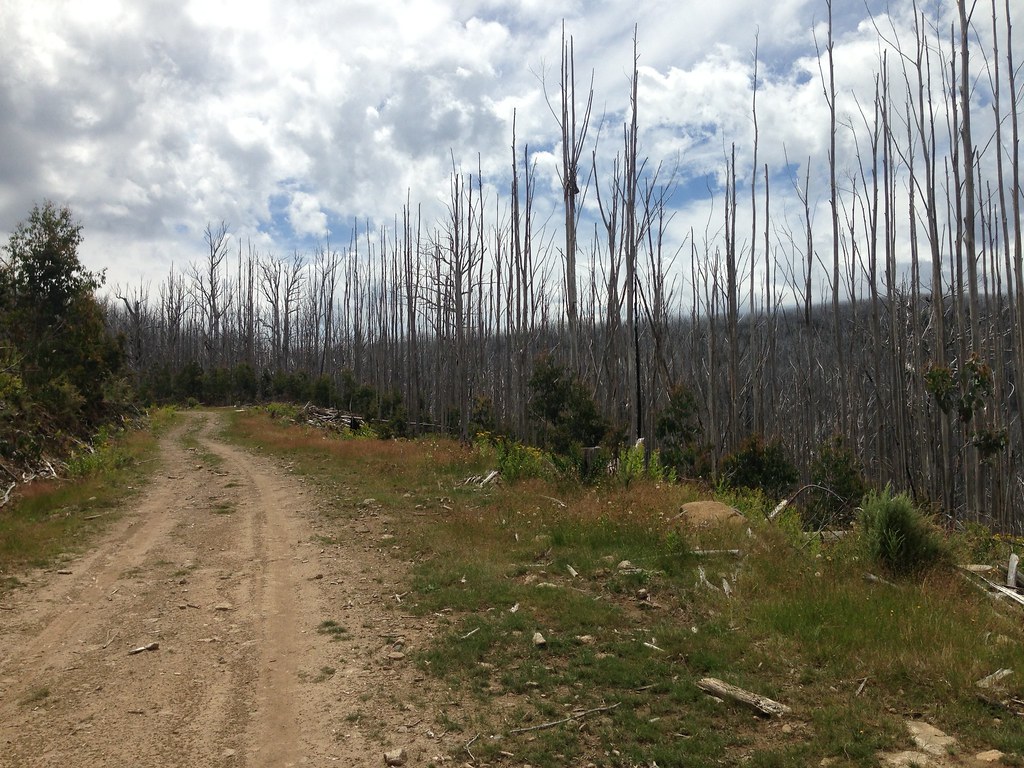
Rooftops wrong. Google maps wrong. Can't blame them too much though, the track clearly did exist at some point but was probably burnt by bushfires and not reopened. That's the way it goes.
Anyway, that's the end of this story. I drove home, high-fived the wife and kids and we all ate lollies and laughed and laughed...
Job done.
Glad to see more rides happening and more write ups!
ReplyDeleteThis comment has been removed by the author.
ReplyDeleteThanks Mark!
DeleteHi Andrew,
ReplyDeletestumbled across your blog whilst planning a ride, a friend and I are planning on riding up Lake Mountain from Marysville on Saturday, we will be on roadies so will be taking Marysville - Woods Point Rd up, but we are also looking for some gravel/dirt roads to ride on the day while we are in the area. How far up Lady Talbot would be sensible on 23mm tires? And do you have any other suggestions around Marysville that we could check out on the day?
Ps. I'm enjoying going through these posts, makes me want to get off road all the more!
Hi Michael, sounds like fun. Def give Lady Talbot Drive a spin and see how far you feel like going. Even the first flattish, well-groomed section of it is worth a look. If you're feeling adventurous, link it up to Mt Margaret Road and that'll pop you out on the main road up near Buxton. There's a lot of beaut roads out there but not too many I'd recommend on 23mm tires. Take plenty of spare tubes, watch out for pinch flats on the rocks and have fun!
DeleteI only managed a half-day leave pass this week, so I went exploring up this way. What a magic rode that is at dawn, absolutely beautiful. I managed to find that "track" from Keppel Hut to Lake Mountain. If I didn't have phone reception, I probably wouldn't have braved it with the bike, but it was okay. About 2-3kms of hike-a-bike through overgrown bush and countless fallen trees to climb over. Just had to keep an eye out for the orange triangles to stay on track and snakes were a concern, as I often couldn't see where my feet were being planted... It did eventually get me to the resort via the snow fields for some lunch, but out of time, had to descent on the main rd. Would have preferred, as you did, to turn around at the hut and enjoy the descent back down Lady Talbot, or explore more down Mt. Margaret. ...next time. (https://ridewithgps.com/trips/7992914)
ReplyDeleteNice one Reid! Thanks for the link, you got some good pics out there.
Delete